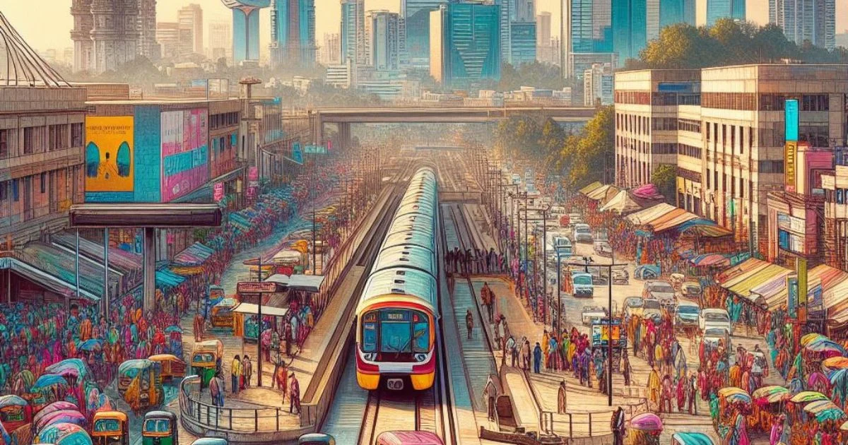
Madhapur Metro Station, a vital hub on Hyderabad’s Blue Line, pulsates with the energy of India’s IT hub. Above bustling streets, it connects commuters to the heart of Madhapur’s booming tech industry, vibrant residential areas, and the scenic Durgam Cheruvu lake.
- Location: Rd Number 36, Aditya Enclave, Venkatagiri, Madhapur, Hyderabad, Telangana – 500033
- Coordinates: 17.4372486°N 78.398296°E
- Line: Blue Line
- Tracks: 2
- Structure: Elevated
- Platform Levels: 2
- Opened: April 13, 2019 (4 years ago)
| Preceding station | The following station |
|---|---|
| Durgam Cheruvu towards Raidurg | Peddamma Gudi towards Nagole |

Station layout
- Street Level: Parking and local area map.
- Concourse Level: Ticketing, retail outlets, washrooms, ATMs, first aid.
- Platform Level: Two platforms for northbound and southbound trains. Both have disabled access.
Platform Details:
- Platform 1: Doors open on the left, southbound towards Raidurg.
- Platform 2: Doors open on the left, northbound towards Nagole.
Entry/Exit:
- Gates A, B, C, and D provide access to the station.

