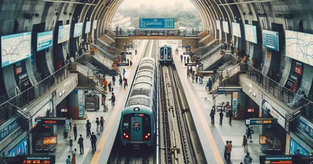
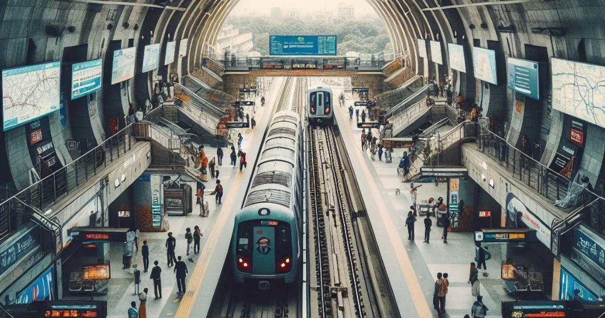
Shastri Nagar Metro Station, formerly known as Vivekanandapuri, is a vital hub on the Red Line of the Delhi Metro network. Situated in the heart of Shastri Nagar, it caters to a bustling residential and commercial area. Initially inaugurated in 2002, the station has played a vital role in connecting the district to various parts of the city, offering a swift and efficient mode of transportation for commuters.
- Location: Banda Bairagi Marg, New Delhi
- Coordinates: 28°40′12.4″N 77°10′54.5″E
- Line: Red Line
- Platforms: Side platform (Platform 1: Rithala, Platform 2: Shaheed Sthal)
- Tracks: 2
- Structure: Elevated
- Accessibility: Yes
- Passengers (Jan 2015): 17,006 per day, 527,195 per month average
| Preceding station | The following station |
|---|---|
| Inderlok towards Rithala | Pratap Nagar towards Shaheed Sthal |

Station layout
Platforms:
- Platform 1: Westbound towards Rithala, next station Inderlok (change for Green Line at Inderlok). Side platform, doors open on the left, disabled access.
- Platform 2: Eastbound towards Shaheed Sthal, next station Pratap Nagar. Side platform, doors open on the left, disabled access.
Other Levels:
- L1 (Concourse): Fare control, station agent, Metro Card vending machines, crossover between platforms.
- G (Street Level): Station exit/entrance.

